November 03, 2026
InCubed-funded terrAIntel becomes fully operational
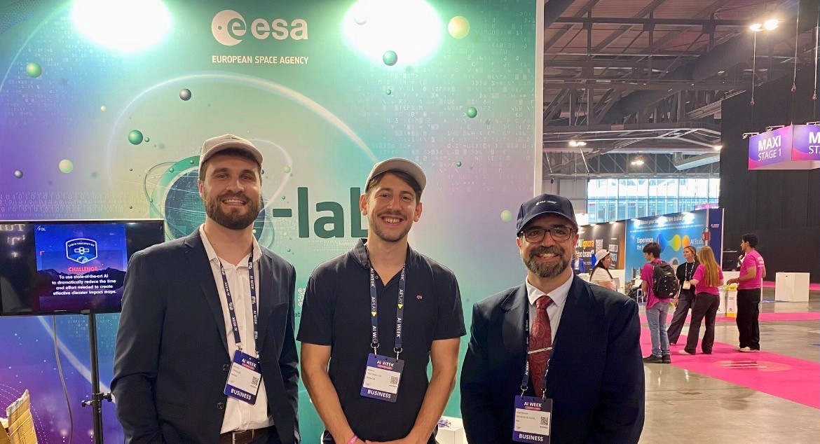


terrAIntel turns complex Earth observation data into accessible information through the use of natural language. As one of the first ‘ChatGPT-like’ tools for Earth observation co-funded by the European Space Agency, terrAIntel has evolved into an operational platform that allows anyone to explore satellite-derived insights, maps and statistics without requiring specialist expertise. The platform supports applications ranging from journalism and storytelling to humanitarian and disaster-response activities.
From tracking the impact of floods and wildfires to monitoring changes in cities, forests or coastlines, Earth observation data can help journalists tell stories with facts and evidence. Yet, accessing and understanding this information is often far from straightforward.
Finding the right data, making sense of it and turning it into information that can be used in reporting usually requires specialist knowledge, dedicated software and a significant amount of time. As a result, many newsrooms and public-interest organisations might end up not using Earth observation data in their reporting, even when it could strengthen their stories and support informed decisions.
Developed by GeoVille and Cortecs and co-funded by ESA InCubed, terrAIntel is a platform that makes Earth observation information easier to access and understand, helping data journalists and digital investigative journalists find the information they need. An early version of the platform is now available.
Through a simple conversational interface, users can ask questions about places, events or environmental changes in their own words and receive answers supported by maps, statistics and accessible explanations.
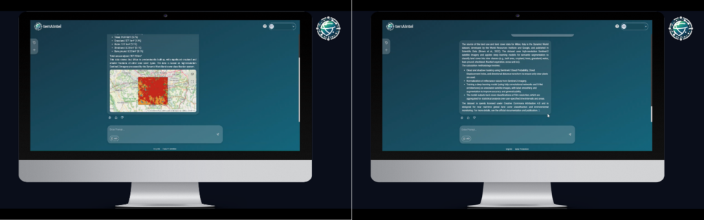
They can define the location and time period they want to explore, helping them focus on the most relevant information for their stories. By combining Earth observation data, visualisation tools and transparent information about data sources and methods, terrAIntel transforms complex data into evidence that can be readily used for reporting, storytelling and decision-making.
Although it was initially developed for journalists, terrAIntel can now support humanitarian efforts and disaster-response activities: public health officers and emergency response teams can explore flood-affected areas, investigate changes in land cover, identify settlements potentially exposed to environmental hazards, or monitor wildfire activity.
terrAIntel can also support the planning of vaccination campaigns in remote areas by helping humanitarian teams identify and locate villages, estimate their populations and use this information to plan vaccination requirements.
To raise awareness about the platform and explore new applications, a team from GeoVille showcased terrAIntel at AI WEEK and at ESA Industry Space Days, demonstrating how Earth observation data can be explored through natural language and engaging with potential users from different sectors.
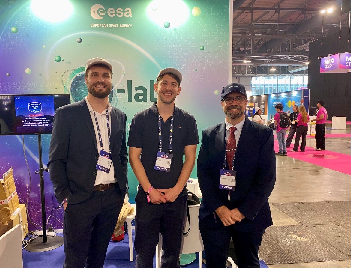
According to GeoVille, the story behind the development of terrAIntel resonated with many attendees, leading to discussions about the future of the platform and opportunities for interested entities to try it themselves. Their feedback was particularly encouraging as the team continues its efforts to bring terrAIntel to a wider market.
Donvan Grobler, Project Manager at GeoVille, commented: “Earth Observation has enormous potential to help us better understand our planet and address some of the challenges we face, but accessing and interpreting this information still involves considerable technical barriers. With terrAIntel, our ambition is to change that by making satellite-derived intelligence accessible through a simple, conversational interface.”
Recognising the role of InCubed in the development of terrAIntel, Donvan added: “The funding and mentoring received through ESA’s InCubed programme have been instrumental in helping us turn this vision into a working platform, providing the opportunity to develop and validate our approach and explore how Earth observation can become more accessible and actionable for a much broader audience, ultimately amplifying its impact.”
Gabriele Meoni, ESA Technical Officer for terrAIntel, said: “Satellite data can provide powerful insights, but extracting them often involves multiple processing steps and specialised knowledge. Within terrAIntel, AI automates much of this work behind the scenes, allowing it to deliver relevant information in a faster and more accessible way. This is an important step towards making Earth observation data available to a much broader community of users.”
José Manuel Delgado Blasco, InCubed Officer for terrAIntel, added: “Through InCubed, ESA helps companies transform innovative concepts into market-ready services. terrAIntel illustrates how this approach can support business growth while making Earth observation information more accessible, useful and relevant to users across a wide range of sectors. terrAIntel is the first activity of its kind to be completed with InCubed support, and I am eager to see where commercial Earth observation innovation will bring us next.”
GeoVille continues to refine terrAIntel, including expanding its analytical capabilities, integrating additional datasets and improving the overall user experience. In parallel, GeoVille is actively engaging in business development activities to grow its user base and establish a commercially sustainable service.
With a fully operational platform now in place, terrAIntel is well positioned to expand its reach and the impact of accessible Earth observation information across new sectors and applications.
Find more information and explore terrAIntel on its dedicated platform.
To know more: terrAIntel, terrAIntel InCubed Activity Webpage, ESA InCubed.
Photo courtesy of Cortecs.