Global storm surge forecasting: creating early warning models with AI4EO


ESA Φ-lab, a key point of reference for groundbreaking innovation in Earth observation, was recently invited to present its work on storm surge forecasting to an audience at Google Research. Φ-lab’s initiative follows a state-of-the-art approach, combining deep learning and data fusion of satellite imaging, tide gauge measurements and weather forecasting models. The goal of this enterprise is the optimal prediction of surge-related natural disasters, especially in under-served areas.
According to the United Nations Development Programme, the effects of climate change on coastal flooding will increase up to five times over the century, leaving more than 70 million people in the way of expanding floodplains. Latin America, the Caribbean, the Pacific and Small Island Developing States are expected to be among the most affected areas. Following the UN Sustainable Development Goals framework, ESA supports a rapid and resilient crisis response and Copernicus has its own Emergency Management Service.
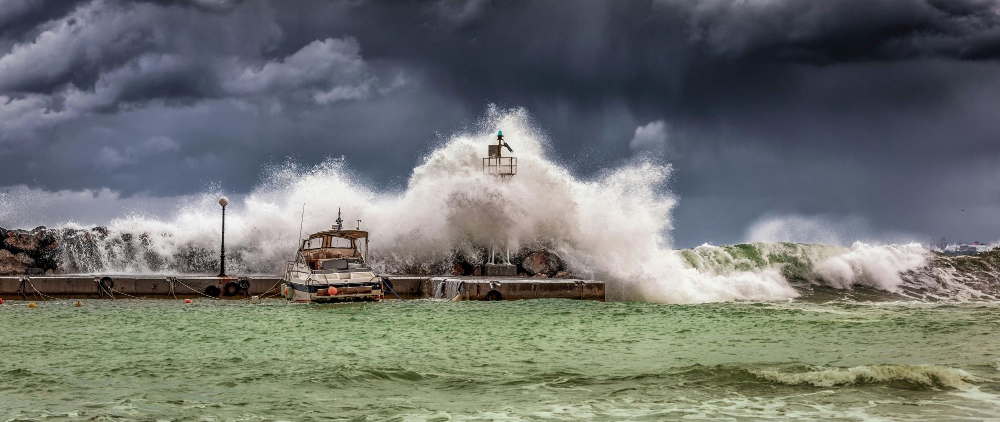
Storm surges are one of the most critical climate change consequences. They are ocean dynamics driven by extreme weather, superimposing temporary rises on the mean sea level and causing coastal floods. The short-term prediction of these phenomena is accomplished via tidal gauges – in situ sensors that provide hourly records of sea level changes with high accuracy. They are widely deployed in Europe and in the US, but are sparse in other world regions, especially in developing countries.
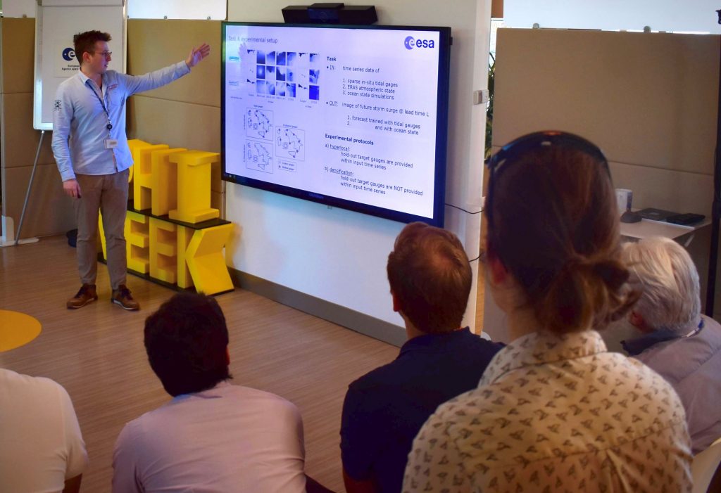
As part of its efforts to fight climate change and its impact, ESA Φ-lab, a globally recognised entity in groundbreaking innovation in Earth observation (EO), is conducting research on the use of machine learning to predict storm surges. At the beginning of May, Google Research Flood Forecasting invited Patrick Ebel, an internal research fellow at Φ-lab and lead for the storm surge forecasting project, to give a talk about the recent work and approaches developed in the lab.
To counteract the difficulties presented by traditional prediction methods, this Φ-lab project introduces a global dataset of in situ tidal gauge time series paired with satellite-derived atmospheric and ocean state reanalysis products and global land-sea masks. Neural networks, a machine learning approach designed to recognise patterns, can then assimilate these data to provide forecasts with large spatial coverage. The novelty in this research lies in the generalisation of prediction to locations where tidal gauges are not available, assisting under-served communities with less in situ monitoring infrastructure and aligning with the UN Early Warnings for All initiative goals.

Google software engineer Oren Gilon was one of the organisers of the session: “We at Google have been very excited to hear about Patrick’s work. Understanding that approaches similar to those that have been applied to riverine floods can be applied to coastal floods changes the way we look at this problem. We hope to find ways to collaborate on this matter in the future.”
The next steps for the project include replacing retrospective reanalysis products with recently developed forecasting models, incorporating data from satellite altimetry, modelling of impact at landfall, and translating storm surges into predictive flood maps. This work will be further discussed at the next IEEE/CVF Computer Vision and Pattern Recognition Conference and MedCyclones Workshop & Training School.
“I would like to thank Google Research for having organised the gathering and for the enthusiastic discussion on the storm surge topic. Our innovative approach to this research brings a fundamental change to the way natural hazards are predicted,” comments Giuseppe Borghi, Head of Φ-lab. “I am keen to see this dialogue between Google and ESA continue, as we work together to address some of our most pressing societal challenges.”
Further details on the research and its initial results can be found on arXiv.
To know more: Φ-lab, Google Research Flood Forecasting
Photo courtesy of Pexels/George Desipris and ESA/Patrick Ebel
Share