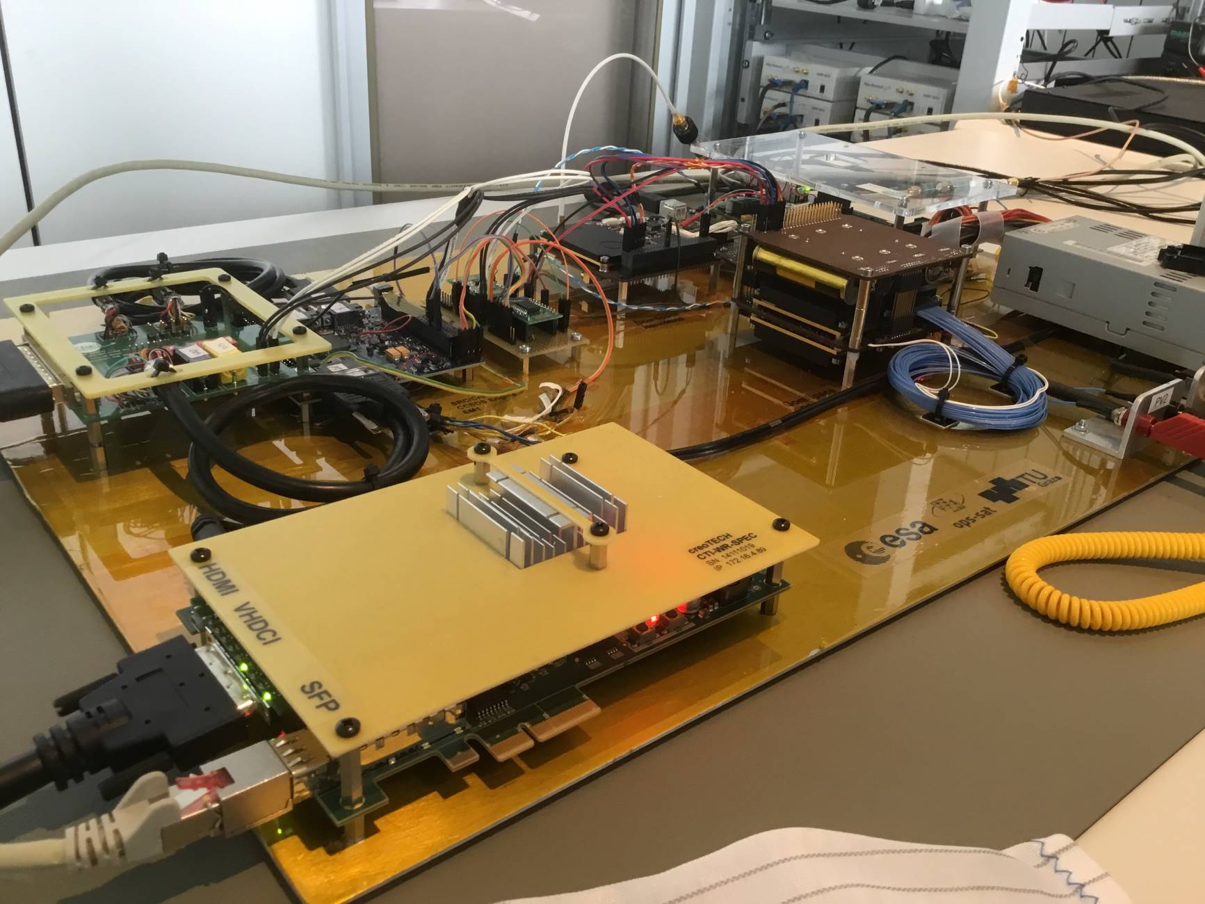
Teach an Earth-observing satellite to know what it sees


For decades now Earth observation satellites have been monitoring our ever-changing home planet; the next step is to enable them to recognise what they see. The latest public challenge for the machine learning community from ESA’s Advanced Concepts Team is to train satellite software to identify features within the images it acquires – with the winning team getting the unique opportunity to load their solution to ESA’s OPS-SAT nanosatellite and test it in orbit.
Edge computing expert Gabriele Meoni of ESA’s Ф-lab at ESRIN, focused on Earth Observation – which has developed this challenge jointly with the ACT – explains: “ESA’s AI-equipped Ф-sat-1, aboard the Federated Satellite Systems (FSSCat) CubeSat, has already demonstrated the benefits of AI on-board – it is able to detect images filled with cloud cover and set these aside. With our new ‘OPS-SAT case’ competition, we seek to take this approach further. Participating teams receive 26 full-sized images acquired by the OPS-SAT CubeSat, which include small 200×200-pixel crops or ‘tiles’ identified with one of eight different classifications – Snow, Cloud, Natural, River, Mountain, Water, Agricultural, or Ice – with a total of ten examples of each type, representing a baseline for feature identification.”
The dataset for the challenge was collected in 2021 and specifically not published in order to keep the competition fair.
Read the full article on www.esa.int.
Photo courtesy of ESA, CC BY-SA 3.0 IGO
Share