As the upcoming ESA Council at the Ministerial Level draws near, relive ESA’s strategy to advance Europe’s leadership in the global commercial Earth Observation market, discussed during the 2nd ESA Earth Observation Commercialisation Forum.
The 2nd ESA Earth Observation Commercialisation Forum (ESA CommEO) brought together investors, institutions, entrepreneurs and companies of all sizes from the Earth Observation (EO) sector. This event offered the perfect opportunity to discuss the strategic priorities for the upcoming ESA Ministerial Council (CM25).
As CM25 approaches, ESA reiterated its ambitious strategy for the coming years, focusing on strengthening collaborations with the European Union to ensure alignment in space initiatives, and reinforcing science ambitions, particularly in Earth science, to address critical global challenges. ESA underscored its role in supporting policy development, enabling informed decision-making across sectors, and is committed to advancing resilience, safety and security activities to safeguard the sustainability of space operations and protect vital infrastructure on Earth and in orbit.
As demonstrated by the 2nd EO Commercialisation Forum, one of the main pillars in ESA’s strategy is to boost commercialisation, positioning Europe as a global hub for space entrepreneurship and investment. In fact, some of ESA’s Earth Observation flagship programmes – such as Digital Twin Earth, ESA InCubed and FutureEO – were extensively discussed during the forum.
The ESA Digital Twin Earth (DTE) proposal for CM25 aims to reduce barriers for accessing and using EO data while integrating the novel capabilities of ESA Member States into the DTE development lifecycle. Built collaboratively with the community, it leverages state-of-the-art technology and industrial excellence to drive environmental sustainability, establish best practices and measure impacts through broad participant collaboration. The programme seeks to explore cutting edge technologies such as quantum computing and AI, while advancing a geographically distributed framework for collaborative DTE component development and local reuse.
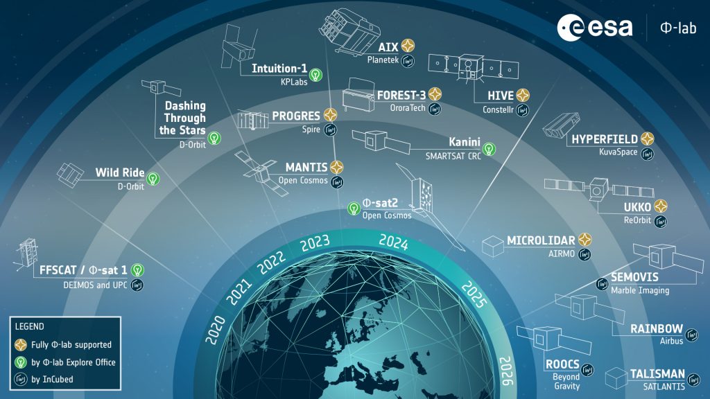
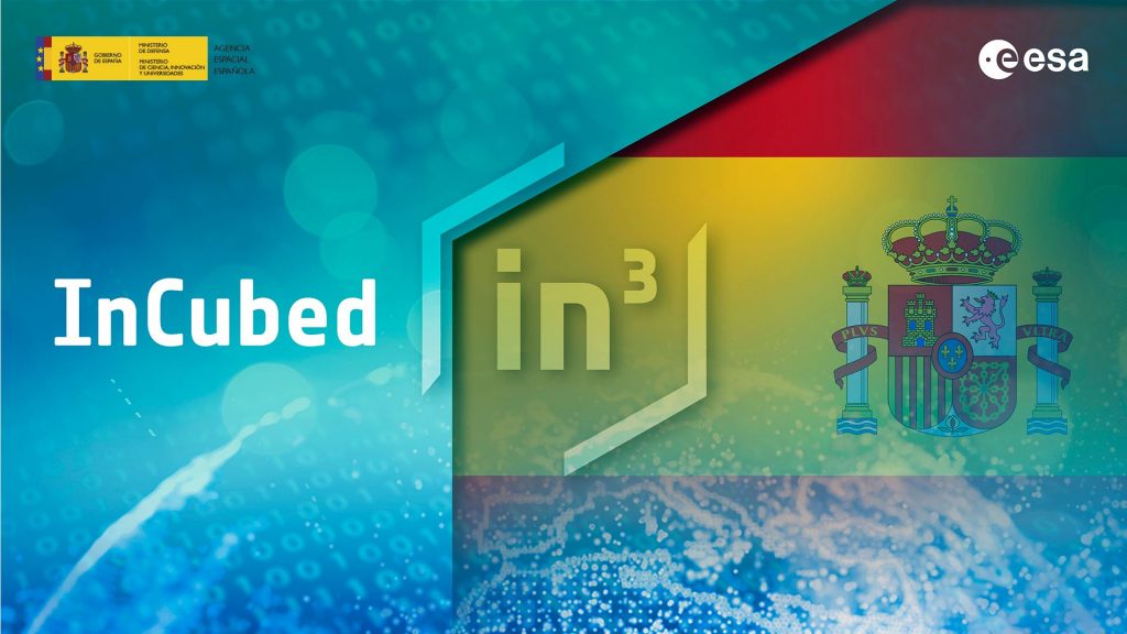
The ESA InCubed programme, an Earth Observation Programme managed by ESA Φ-lab, has established itself as a fast and effective mechanism for supporting innovation in EO, funding 140 activities. The ESA InCubed programme has promoted several successful national calls – in countries like the UK, Spain and Portugal – engaging a broader range of stakeholders and aligning projects with regional priorities.
InCubed has been a catalyst for venture capital investments in New Space start-ups, amplifying its impact beyond initial funding. This programme has not only driven growth in the Earth Observation sector but also enhanced its credibility with industry stakeholders, solidifying its position as a key player in the European commercial space ecosystem.
FutureEO, a world-leading R&D programme for the preparation, development, management and use of ambitious EO research missions and data also set its strategic commercial objectives for 2026-2028: to strengthen industrial competitiveness, address critical technology developments and Earth Action, and to reinforce ESA’s role as enabler and customer.
As a first buyer or initial anchor customer, the ESA Third Party Mission (TPM) programme enables New Space EO data to be opened to the broader European scientific community for innovative research and pre-operational application developments, including green commercialisation and Earth Action. More than 17.700 research application development and incubation projects have used TPM data since 2008, highlighting the programme’s role in supporting EO data commercialisation.
EO data buy is a powerful way to support the European EO industry. Through data buy, ESA assesses the quality of commercial EO data, allowing for capacity building, enhanced recognition, trust amongst data customers and investors, and stimulation the synergy between commercial and public EO missions.
The insights gained from this forum will shape ESA’s strategy for CM25, paving the way for Europe to strengthen its position and thrive in the highly competitive global EO sector.
See the full “ESA CommEO Approach Towards CM25” session here.
To know more: ESA CommEO, ESA Φ-lab, ESA InCubed, ESA Third Party Missions, Digital Twin Earth, FutureEO
Photo courtesy of Marc Jacquemin Photography