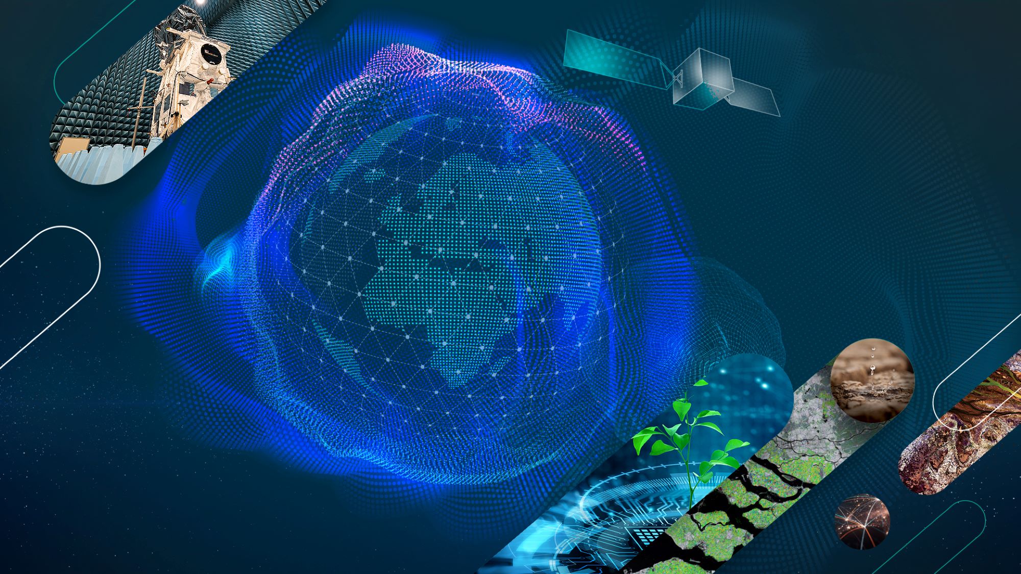
At this year’s Living Planet Symposium, ESA Φ-lab will present its innovations and initiatives at the forefront of Earth Observation. Make sure not to miss our key moments.
The European Space Agency’s Living Planet Symposium (LPS) is one of the world’s largest events dedicated to Earth Observation (EO). LPS25 – this year’s edition – will take place from 23 to 27 June, in Vienna (Austria), gathering scientists, policymakers, and industry experts to share the latest research, satellite-based applications, and innovative technologies addressing environmental and societal challenges.
As part of this dynamic programme, ESA Φ-lab will be actively involved, presenting its next-generation solutions at the intersection of EO, transformational innovation, commercialisation for human prosperity, climate action, and sustainability, among others.
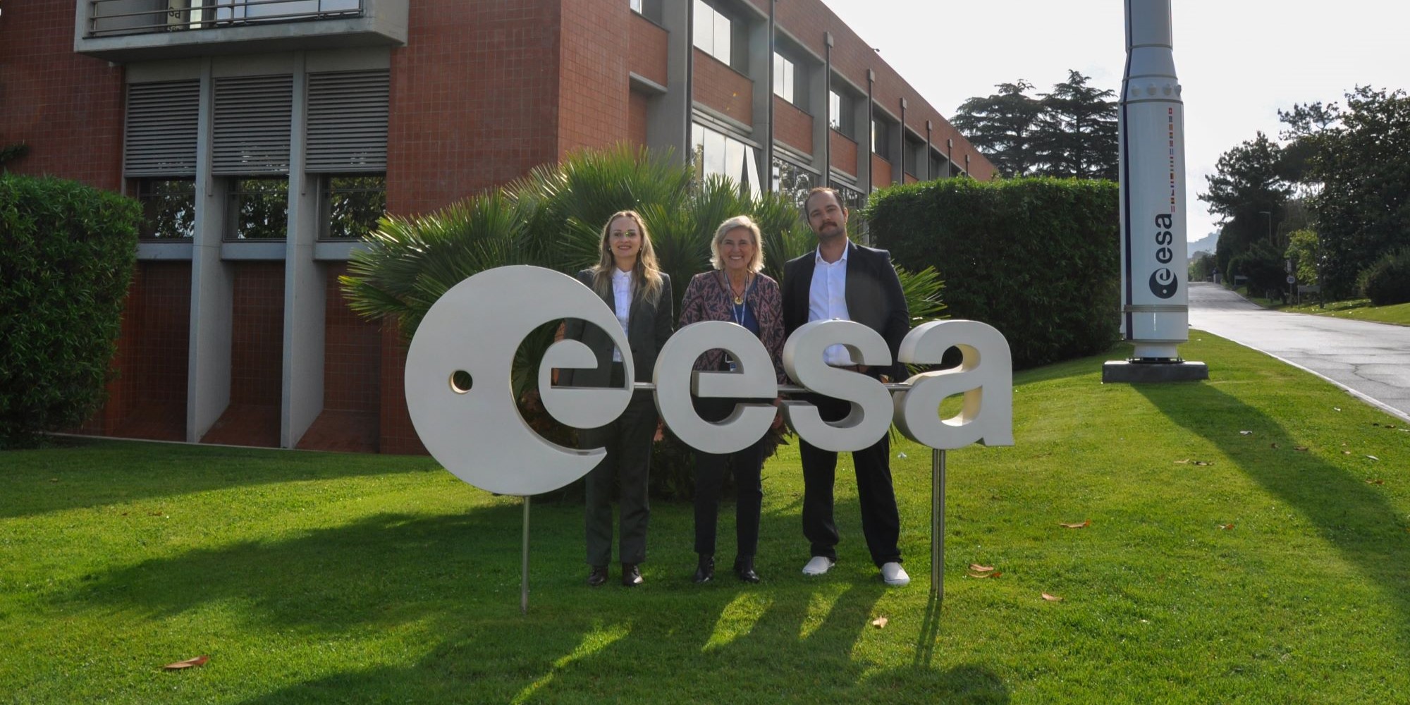
Curious about Φ-lab? Make sure to pass by the Φ-lab corner at ESA’s stand (Main Hall, ground floor) to meet the team, discover how Φ-lab drives cutting-edge research and disruptive technologies in Earth Observation, and learn about opportunities for collaboration.
Here are Φ-lab’s must-sees:
1. The future of geospatial data discovery and use
The rapid growth of EO data availability calls for new approaches to efficiently manage, analyse and extract meaningful insights from heterogenous and enormous satellite datasets. In this context, self-supervised learning and foundation models are emerging as transformative tools, offering unprecedented capabilities for detecting patterns, changes, and anomalies across the planet.
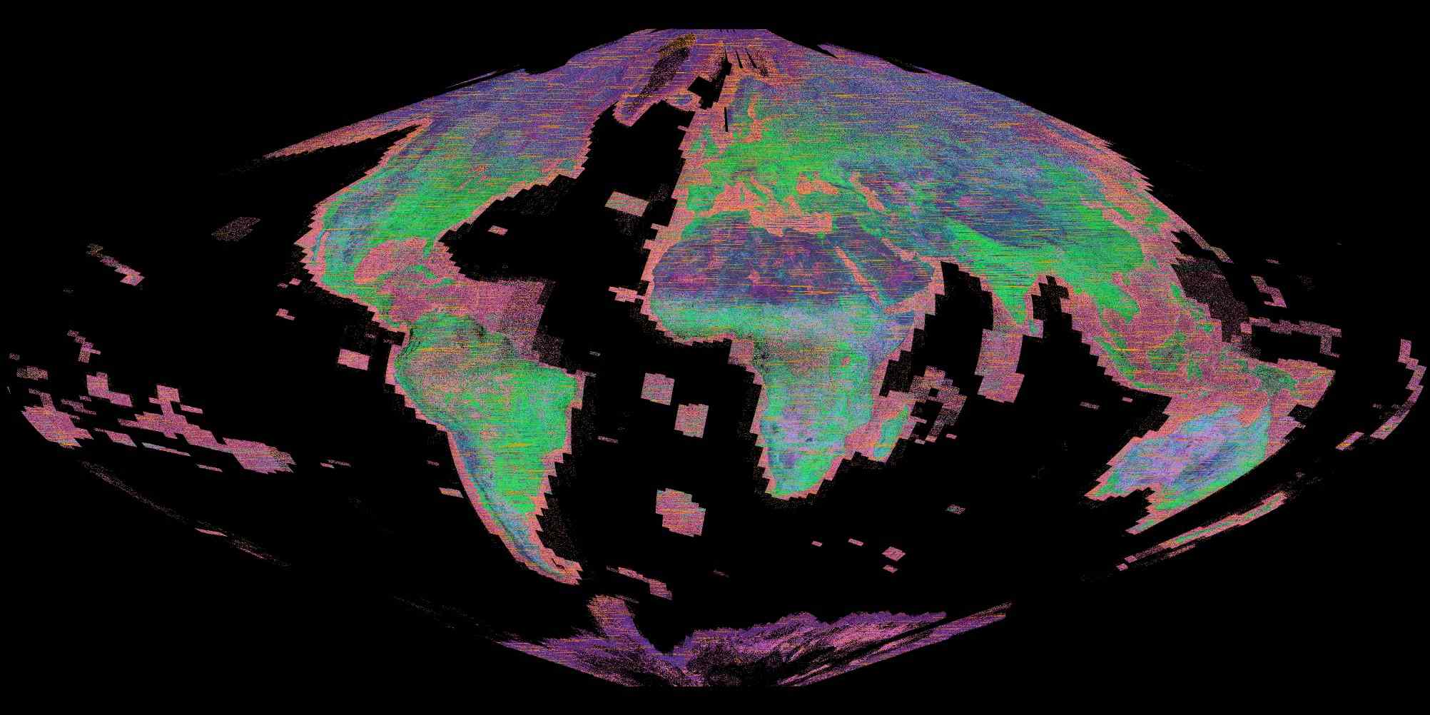
Φ-lab has built a strong expertise in using powerful AI models. The latest example is the joint ESA/IBM Research Europe release of TerraMind, a next-generation geospatial foundation model designed to help us better understand and protect our planet.
AI is reshaping EO, enhancing data analysis, discovery, and interaction through multimodal data and language models. In the session “AI and Earth observation – where to now?”, Φ-lab Visiting Professors will share the latest advances and lead a thought-provoking debate on the future of AI in remote sensing.
During the session “Foundation Models for Earth Observation: Current solutions with less labelled data to improve environment monitoring and future perspectives to revolutionize geospatial data discovery and utilization”, you will learn about three of the latest Φ-lab-supported projects on the topic of foundation models for EO: TerraMind, FM4CS (Foundation Models for Climate and Society) and PhilEO.
EVE (Earth Virtual Expert) is a large language model (LLM) developed to support the EO and Earth Science communities. It builds on open-source LLMs, trained on billions of curated EO data tokens and fine-tuned with tailored datasets. Designed to assist both expert and non-specialists, EVE makes complex EO knowledge accessible to everyone through natural language processing. In the session “EVE: A Comprehensive Suite of LLMs and Data for Earth Observation and Earth Sciences”, attendees will discover how EVE was built, explore its capabilities, and learn how to interact with it for their own applications.
Ensuring AI technologies are explainable, trustworthy, and physics-aware is essential. “Explainable AI for Earth Observation and Earth Science” will explore cutting-edge advancements in Explainable AI methods across diverse data types, including SAR, optical, and hyperspectral data. Attendees will discover innovative strategies to bridge data gaps, address physical inconsistencies, and promote responsible, ethical AI use in support of Earth Action initiatives.
2. Advancing weather and climate forecasting with Machine Learning
The monitoring and prediction of Earth’s weather and climate systems have seen remarkable progress in recent years. With the growing availability of high-resolution satellite data and sophisticated in situ sensors, we have now access to an unprecedented amount of data about our planet’s interconnected systems. Machine learning and deep learning techniques are transforming the way we interpret, model, and forecast the complex dynamics of Earth.
“Machine Learning for Earth System Observation and Prediction” will bring together researchers exploring the latest AI-driven approaches in environmental science. It will highlight innovations in data assimilation, climate prediction, and the development of large-scale, data-driven Earth system models.
3. Investing in commercial ideas that change the way we see our planet
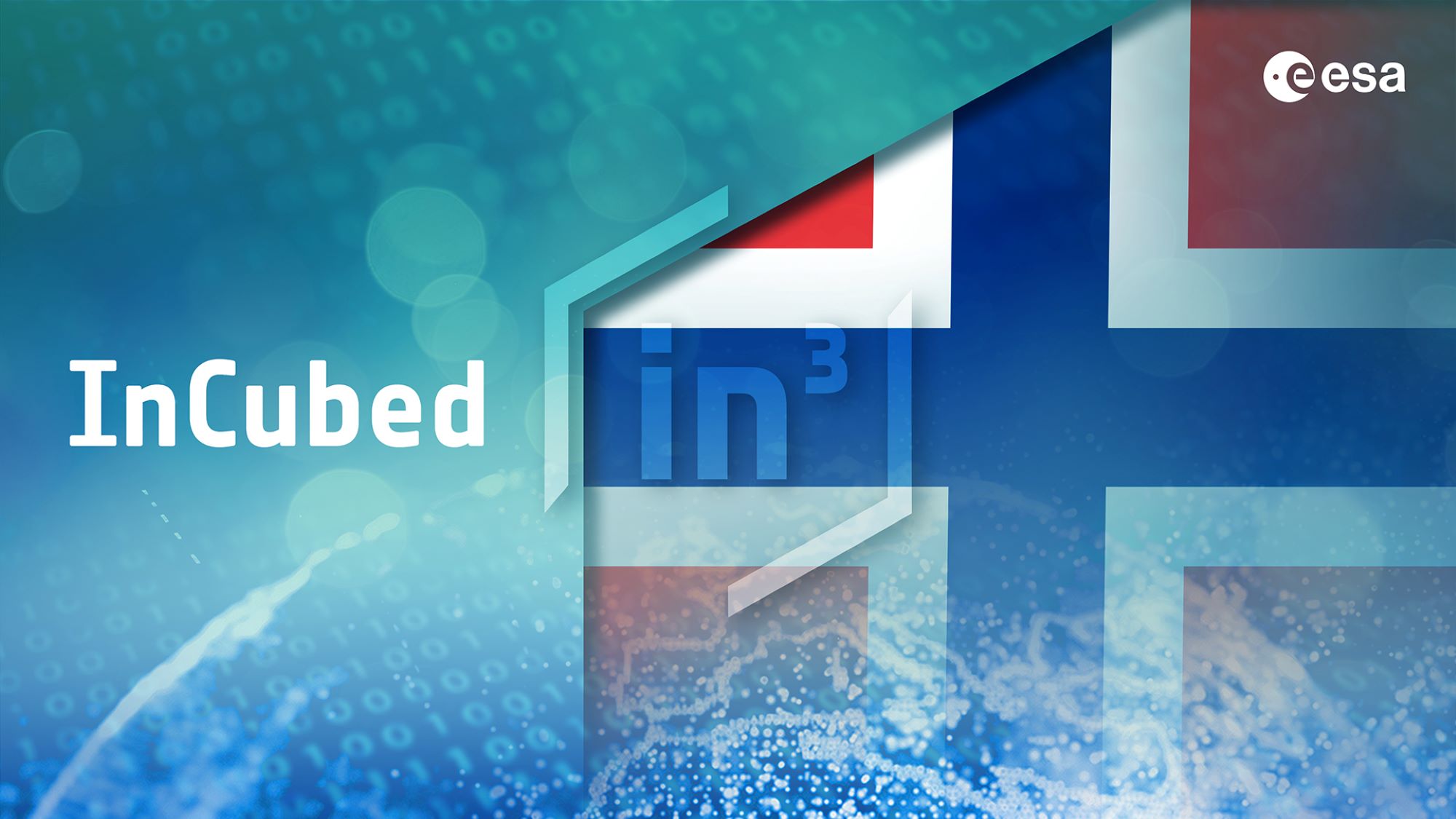
Great ideas need more than ambition. They need backing, and this is where the ESA InCubed programme steps in. By blending co-funding, technical expertise, and commercial and industrial guidance, InCubed is a key tool of ESA’s EO commercialisation strategy to effectively bridge the gap between vision and commercial success in the EO sector.
As the demand for agile EO solutions grows, public-private partnerships are emerging as a powerful model to accelerate innovation and optimise resources. “New approaches to support commercialisation” will gather industry and institutional voices to explore the opportunities of new approaches, but also address challenges such as goal alignment, intellectual property, and data access.
“Enhancement of EO products using advanced multi-instrument and multi-platform synergies” will focus on methods that exploit synergies between complementary observations, modelling and multi-sensor data, using data from missions like Copernicus’ Sentinels, EarthCARE, MTG, EPS-SG, PACE, among others.
“Commercial Earth Observation Missions: Embracing New Paradigms and Innovative Models” will explore new commercial EO mission concepts designed to meet both institutional and market needs. With examples of business models – from public-private partnerships to fully private ventures – this session will offer insights into the evolving commercial EO landscape.
Driven by new climate regulations such as EU ETS and CBAM, the demand for accurate GHG monitoring is rising. “Opportunities in the Earth Observation Market: A Focus on GHG Monitoring” will focus on the commercial opportunities at the intersection of Earth Observation and climate policy, featuring an overview of the regulatory landscape, and a panel discussion with EO companies developing services to meet emerging compliance needs.
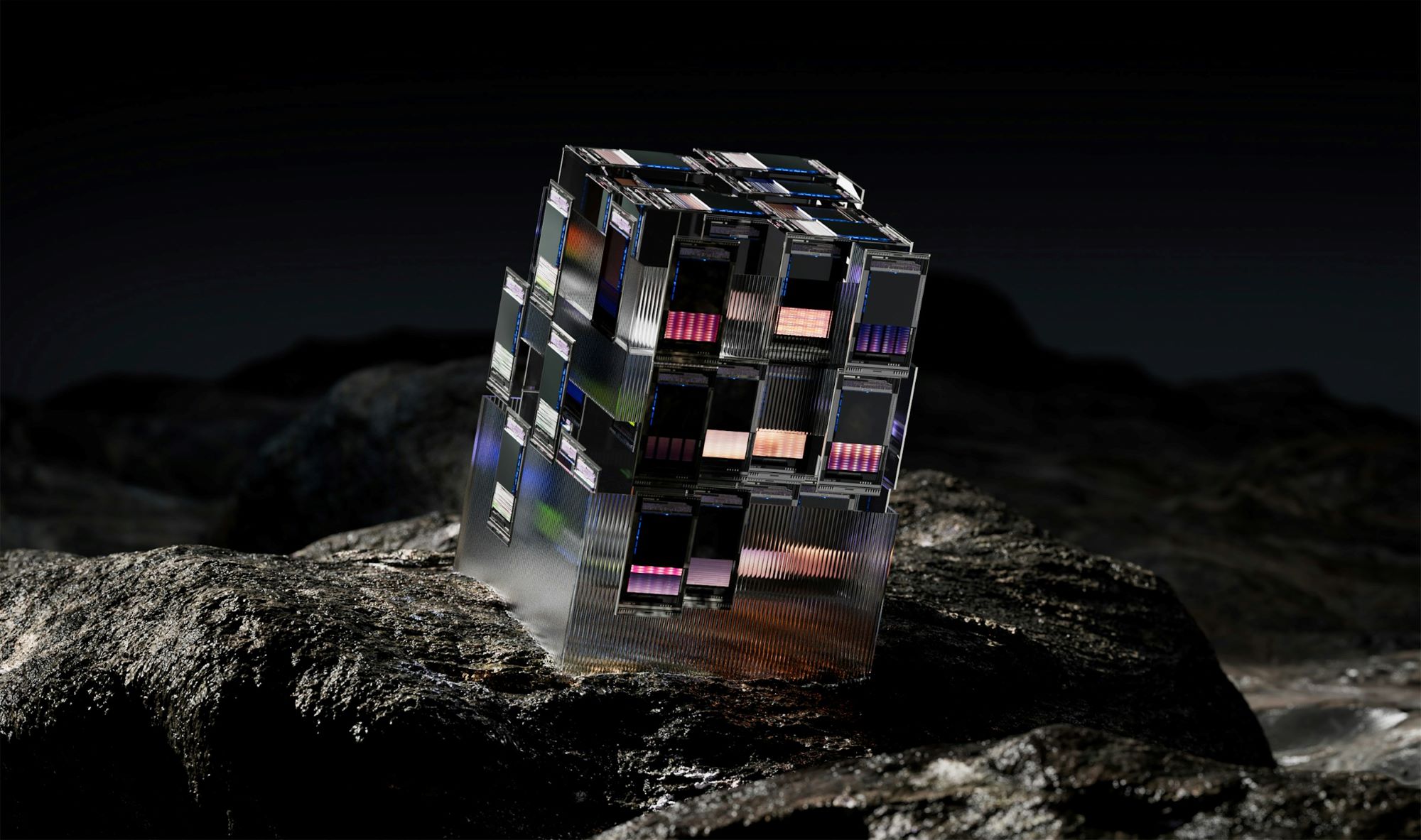
4. Harnessing Quantum Computing for a smarter, greener future
Quantum Computing (QC) promises to process vast amounts of information more efficiently than classical systems, creating new opportunities for climate modelling, environmental monitoring, and the analysis of highly complex, interconnected natural systems. By accelerating data processing and enabling new types of simulations, quantum technologies could improve the accuracy of climate predictions and support more responsive decision making in the face of global challenges.
In the “HPC and Quantum Computing” Insight Session, experts will discuss how quantum technologies are beginning to transform the way we work with EO data. It will also explore hybrid quantum-classical approaches, which combine the strengths of both computing paradigms.
“Joint ESA-GRSS initiatives for the exploitation of Earth Observation data” will focus on the work developed by the Quantum Computing for Earth Observation Working Group, an initiative that is part of the IEEE-GRSS Technical Committee QUEST (Quantum Earth Science and Technology) and operated in collaboration with Φ-lab. This project fosters collaboration between the QC and EO communities and is working to turn the promise of QC into practical, impactful applications for EO, through joint research, open knowledge exchange and hands-on projects.
5. Smarter satellites, faster insights: inside the Φsat-2 mission
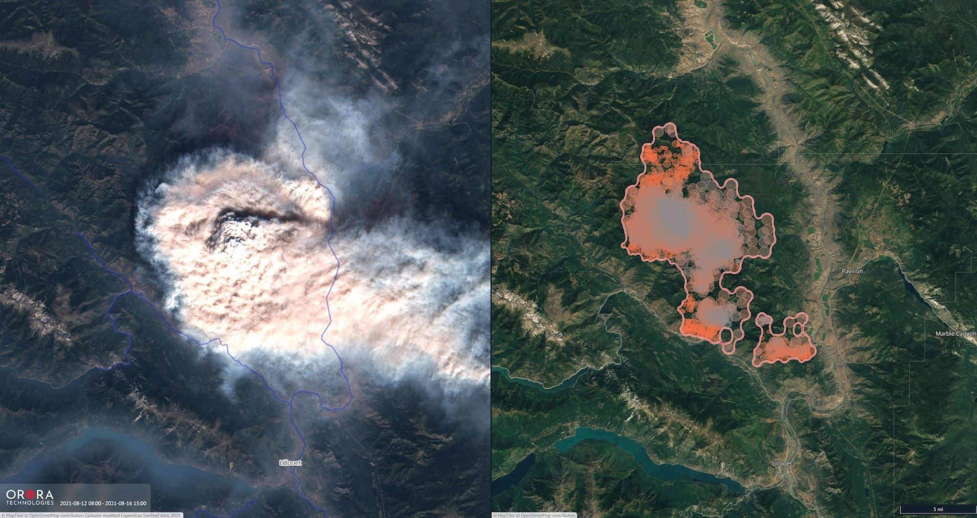
Designed to test new mission concepts and onboard data processing using advanced AI processors, ESA’s Φsat-2 is an innovative nanosatellite that runs multiple applications directly in orbit. Equipped with a high-resolution multispectral instrument, it supports tasks like cloud detection, vessel classification, wildfire monitoring and image compression.
“The ESA Φsat-2 mission: an AI empowered 6U Cubesat for Earth Observation” session will present the mission’s status, AI demonstrations, and opportunities for the community to engage. Make sure not to miss the Φ-lab-led presentation: “All4One or One4All? Tailoring Onboard AI with NAS and Foundation Models”.
6. Where future careers in Earth Observation begin
To secure the future of Earth Observation, it is essential to engage and inspire young professionals today. The “Exploring Space Opportunities with ESA Φ-lab and EUSPA: Pathways for Students and Young Professionals” session is designed for students and young professionals eager to enter the European space sector, with a focus on innovation, technology, and entrepreneurship.
The session will introduce two key institutions: ESA Φ-lab and EUSPA, the European Union Agency for the Space Programme, which manages operational EU space services like Galileo, EGNOS, and Copernicus.
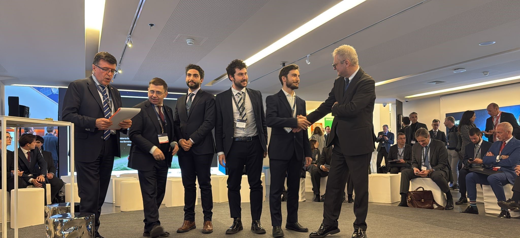
The Grand Marathon, organised by Φ-lab, is an innovation challenge rewarding scalable, market-ready solutions addressing climate events and infectious diseases, with a focus on younger populations. Launched in November 2024 and held in partnership with Save The Children and Hello Tomorrow, the competition celebrates the power of AI-based technologies and blockchain for global resilience.
The “Grand Marathon Finalists pitching and award” session will host the final pitch between the two top teams – GEOMATYS and Plastic-i – who will receive € 50.000 each and compete for the € 150.000 first prize.
Join Φ-lab at LPS25 and take the opportunity to connect, explore new possibilities, and be part of the conversation driving the next wave of Earth Observation innovation.
To know more: Living Planet Symposium, ESA Φ-lab, TerraMind, FM4CS, PhilEO, EVE, InCubed, QUEST, Φsat-2
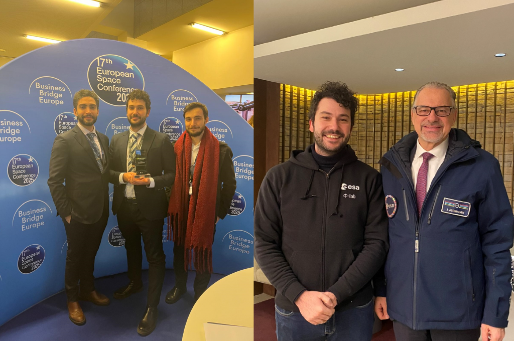
Photo courtesy of ESA