December 18, 2018
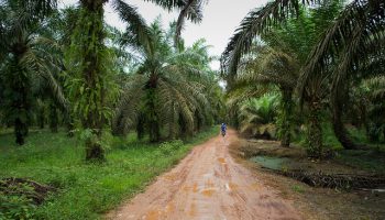
Case study: Mapping global palm (oil) plantations


Palm oil is nowadays the most common vegetable oil used globally. As the demand grows, the expansion of palm oil plantations in the tropical regions will remain one of the main drivers of deforestation, having a considerable impact on biodiversity and disrupt the carbon cycle. Although the current hot spot of production is located in South-East Asia, future expansion is expected for African and South American tropical regions. The monitoring of its current extent and future expansion is crucial for validating the recent efforts towards a sustainable production on a global scale.
One of the main difficulties in mapping palm oil on a global scale is the regular cloud coverage over tropical regions and its spectral similarity to natural forests in the optical domain, which both hinders its applicability on a global scale. In this study taking part at Φ-lab, we overcome both limitations by using Sentinel-1 C-band SAR, ALOS-2 Palsar-2 L-Band SAR and SRTM elevation data. Traditionally L-Band SAR data is considered to be most efficient in mapping forested areas due to its long-wavelength signal that is capable of penetrating the canopy. In contrast, the strength of our method capitalises mainly on the dual-polarised VV/VH C-Band SAR data from Sentinel-1, which is particularly well suited to distinguish palm trees from other forest types.
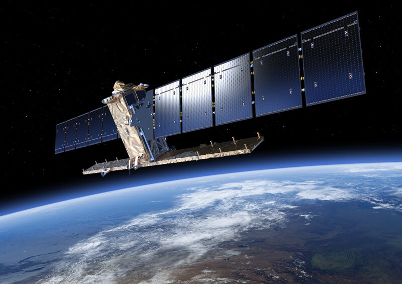
In addition, the 12-day revisit cycle of Sentinel-1 allows for the creation of dense time-series. The temporal behavior of the backscatter is then captured by using a timescan method, which depicts the usage of descriptive statistical parameters for every pixel in the full time-series. This helps in reducing the influence of environmental conditions and adds further strength in discriminating palm oil plantations. Simultaneously, the amount of data used for classification is reduced when compared to the full time-series and the number of input channels into the subsequent machine learning algorithm is standardized.
The drawback of this method is the huge amount of data pre-processing. To overcome this obstacle, we utilize the online platform Google Earth Engine that allows for the planetary-scale application of Earth Observation data.
Post contributed by Andreas Vollrath.