At the recent 2022 ESA Council at Ministerial Level, Member States affirmed the success of InCubed by renewing the programme with a 65% budget boost. InCubed’s new, wider remit encompasses a host of actions designed to further stimulate and accelerate European innovation and competitiveness in commercial Earth observation.
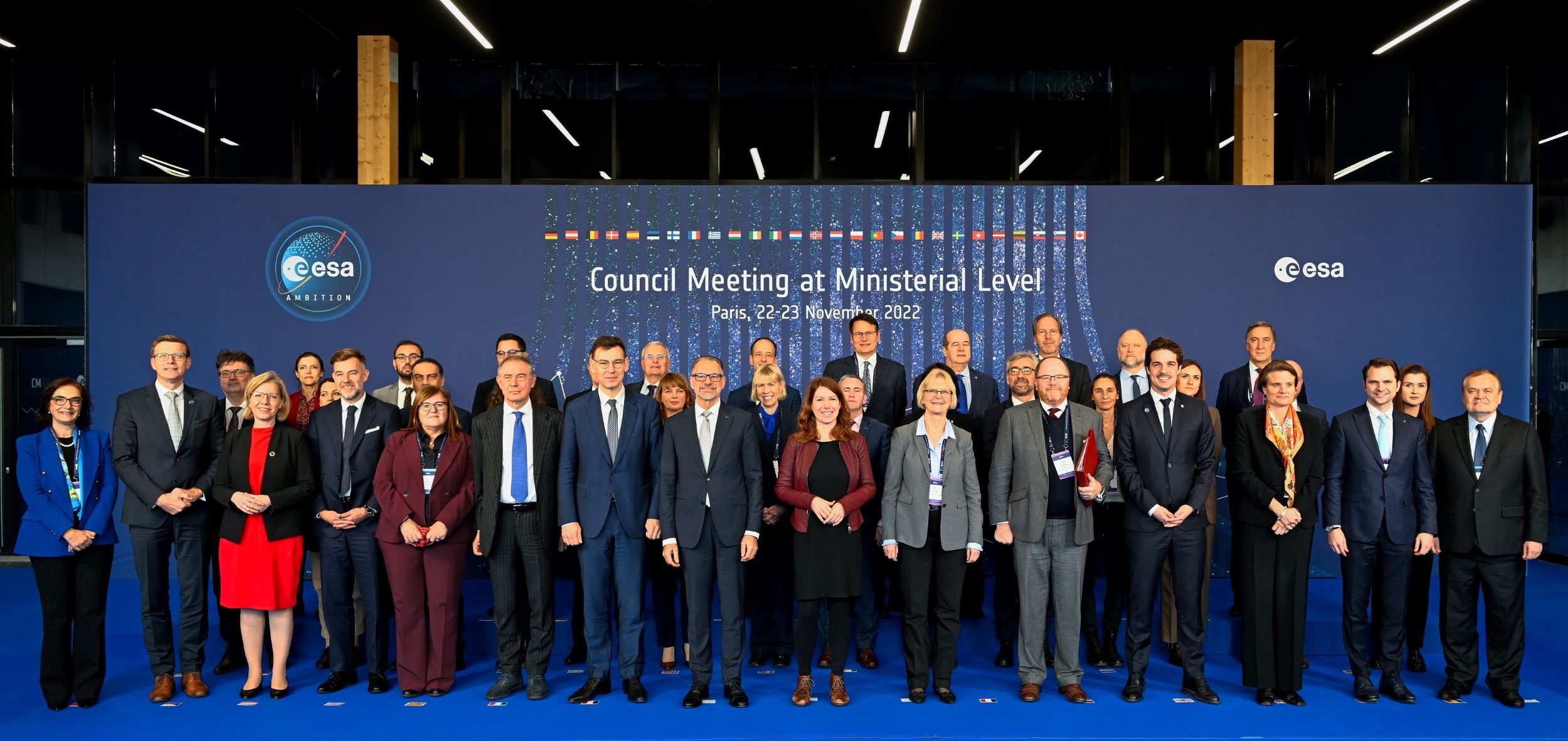
The ESA Council is the governing body that provides the policy guidelines within which the Agency develops the European space programme. The Council meets periodically at ministerial level, and at the last meeting, the 2022 ESA Council at Ministerial Level (CM22), Member States gave a ringing endorsement of ESA’s work, with an exceptional 17% subscription increase compared with CM19. This equates to a total of €17 billion, of which 16% is destined for the Earth Observation Programme (EOP) for continuing and developing its efforts in facing the global challenges of 2023 to 2026 and beyond and ensuring European strategic autonomy.
As an ESA Earth observation commercialisation initiative, InCubed is an optional programme for Member States and so is heavily dependent on the outcome of Ministerial Council meetings. For CM22, the Φ-lab Invest office submitted proposals for expanding the scope and reach of InCubed, leading to the successful allocation of additional funds amounting to €176 million overall programme size. Two new countries, Slovenia and Hungary, also joined, bringing the InCubed family to a total of 21 participating states.
Dubbed InCubed-2, the latest incarnation of the programme comprises a suite of enhancements termed ‘Invest Actions’. These have been added as a result of lessons learnt during previous InCubed phases and are intended to create a framework of partnerships and collaborations that will strengthen the InCubed offer and further support the evolution of the commercial Earth observation (EO) sector. Examples of planned activities include research on promising EO markets, awareness campaigns, creating InCubed ambassadors, start-up coaching, InCubed Business Innovation Factories, and a new, faster route for rapidly delivering proofs of concept using emerging technologies.
“The funds granted at CM22 will further empower us in our quest to advance European commercial EO,” comments InCubed Programme Manager Michele Castorina. “InCubed strives to bring together technical capabilities and investment to enable European entrepreneurs to operate in the global EO domain, and the Invest Actions will help underpin this vision by reinforcing relationships with private investors, venture builders and other key stakeholders.”
One Invest Action that is already underway is thematic calls. Conceived as competitive initiatives aimed at selecting and coaching promising companies, thematic calls are based on current societal issues that may benefit from EO technologies and data. The first call, covering the topic of Cultural and Natural Heritage, was launched recently and will be followed by further such competitions in the future.
Other InCubed events and campaigns are also on the way this year, including EO Commercialisation Days in May. This forum for entrepreneurs, investors, institutions and established companies will provide an ideal platform for commercial collaboration. Details of the event will be published shortly.
To know more: CM22, InCubed, Cultural and Natural Heritage Thematic Call
Image courtesy of ESA – S. Corvaja