May 10, 2024
Applying artificial intelligence to raw satellite imagery for time-critical applications
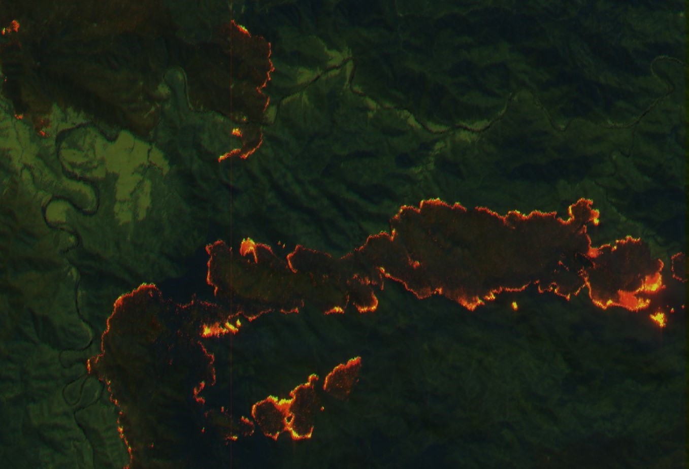


An ESA Φ-lab-funded project is showing the benefits of using raw Copernicus Sentinel-2 data and artificial intelligence to improve response times in early warning systems for catastrophic events.
An abundance of useful satellite imagery is now available, for a realm of applications. The Sentinel-2 mission of the European Copernicus programme provides high-resolution optical imagery with good re-visit times over large areas, that are invaluable for land monitoring. However, for applications that require rapid response, such as the monitoring of catastrophic events or the detection of illegal vessels, traditional data handling and processing schemes usually exhibit excessive latency. The processing is typically encompassed within the ground segment, which causes delay.
Read the full article on sentinel.esa.int.
Copernicus Sentinel-2 image courtesy of ESA