ESA title

Case study: Mapping global palm (oil) plantations

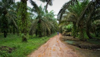
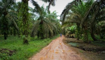
Palm oil is nowadays the most common vegetable oil used globally. As the demand grows, the expansion of palm oil plantations in the tropical regions will remain one of the main drivers of deforestation, having a considerable impact on biodiversity and disrupt the carbon cycle. Although the current hot spot of production is located in South-East Asia, future expansion is expected for African and South American tropical regions. The monitoring of its current extent and future expansion is crucial for validating the recent efforts towards a sustainable production on a global scale.

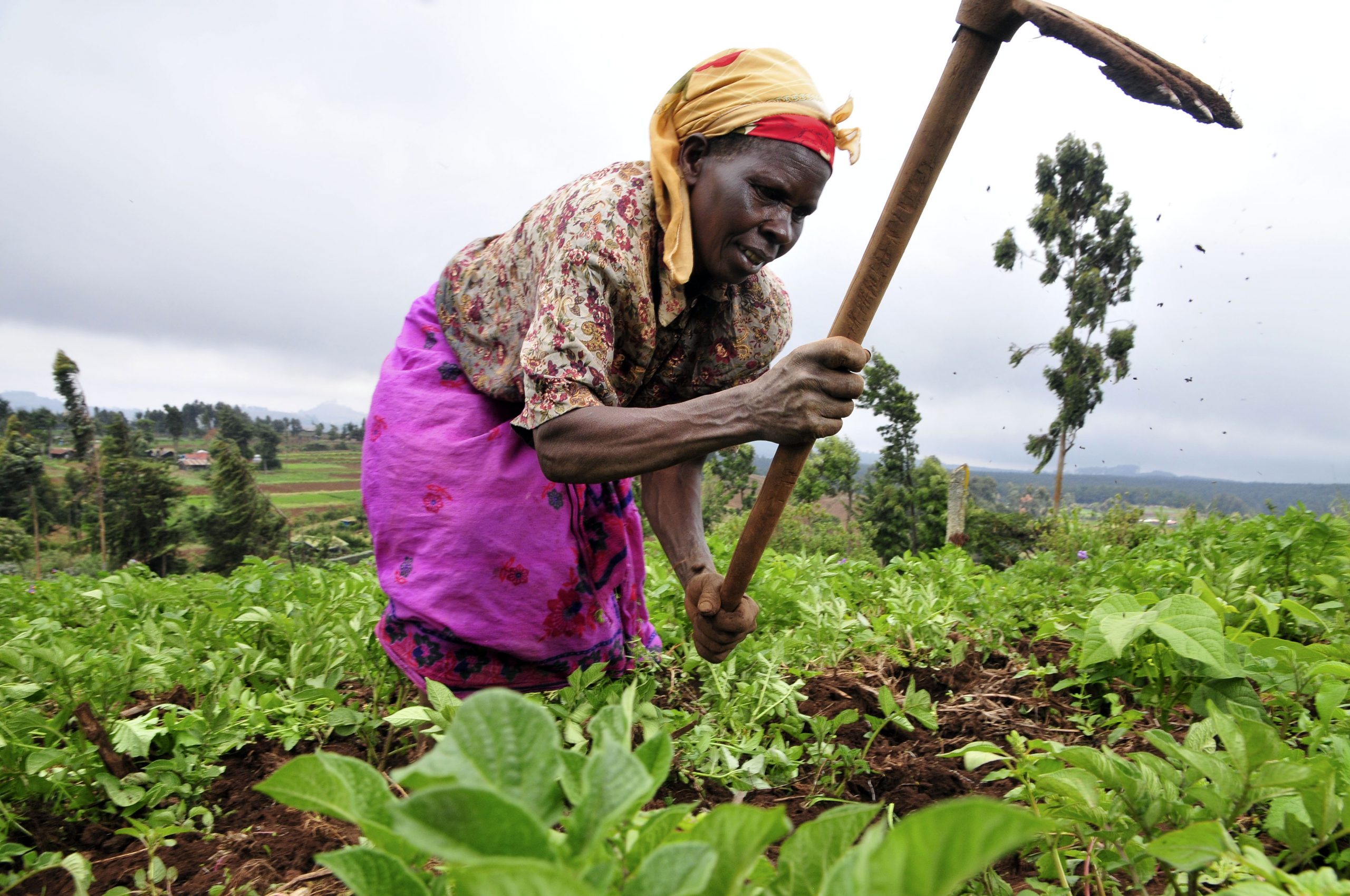
Palm oil plantation in Indonesia | Credit: Aul Rah

Φ-lab on mapping global palm plantations

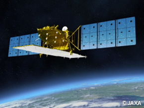
One of the main difficulties in mapping palm oil on a global scale is the regular cloud coverage over tropical regions and its spectral similarity to natural forests in the optical domain, which both hinders its applicability on a global scale. In this study taking part at Φ-lab, we overcome both limitations by using Sentinel-1 C-band SAR, ALOS-2 Palsar-2 L-Band SAR and SRTM elevation data. Traditionally L-Band SAR data is considered to be most efficient in mapping forested areas due to its long-wavelength signal that is capable of penetrating the canopy. In contrast, the strength of our method capitalises mainly on the dual-polarised VV/VH C-Band SAR data from Sentinel-1, which is particularly well suited to distinguish palm trees from other forest types.

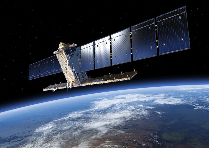
Sentinel-1 C-Band SAR | Credit: ESA
Alos-2 Palsar-2 L-Band SAR | Credit: EORC, JAXA

In addition, the 12-day revisit cycle of Sentinel-1 allows for the creation of dense time-series. The temporal behavior of the backscatter is then captured by using a timescan method, which depicts the usage of descriptive statistical parameters for every pixel in the full time-series. This helps in reducing the influence of environmental conditions and adds further strength in discriminating palm oil plantations. Simultaneously, the amount of data used for classification is reduced when compared to the full time-series and the number of input channels into the subsequent machine learning algorithm is standardized.


The drawback of this method is the huge amount of data pre-processing. To overcome this obstacle, we utilize the online platform Google Earth Engine that allows for the planetary-scale application of Earth Observation data.

Post contributed by Andreas Vollrath.
Workshop on Quantum Computing

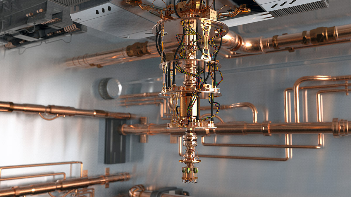
This event was conceived during a mini-workshop on Quantum Computing for Earth Observation which was held on 15 November 2018 at the ESA Φ-Week in ESA’s ESRIN establishment in Frascati, Italy. At this event representatives from the quantum computing community, from both academia and industry, met with Earth Observation practitioners. The objective was to explore possible synergies between the two technologies to stimulate their further development and to accelerate their impact for societal benefit. The focus of the workshop was on the application of quantum computing for downstream data processing and Earth observation data exploitation.

The workshop aimed to prepare the ground for the opportunities that will be presented when the quantum community will be able to produce software for quantum-enhanced optimisation problems of direct use in big data management. Together with machine learning, quantum computing has the potential to be a game-changer in data science and applications.

Φ-lab GitHub

Phi-Lab is on GitHub!

You can now access, host and review code – and join us on moving ideas forward. Phi-Lab is on GitHub to enable access and collaboration on working through Earth Observation-related challenge together. To access ESA-PhiLab GitHub just click the image below!

Curious about what is GitHub?

GitHub enables developers to create something (an app for example), making constant changes to the code and release new versions of it before its final version. ‘Git ‘- a version control system, allows to store these modifications in a central repository easing collaboration between developers as they can get the new version of the app, make changes to it and upload the its new version. Anyone can access these new changes, download them, change them and upload them again. 

The ‘Hub’ is where all takes place, where people can store their projects and network with other developers. Find more about GitHub here.

ESA’s Φ-Week 2018

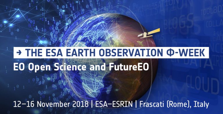
The European Space Agency (ESA) is organizing a Φ-week event focusing on EO Open Science  and FutureEO – to review the latest developments in Open Science trends and kick-start innovative activities of the recently created Φ-department looking at FutureEO, and its associated Φ-lab aiming to identify, support and scale bold EO ideas. The event will be hosted in ESA-ESRIN from 12-16 November 2018.   

The Φ-week will include a variety of events (e.g. inspiring talks, workshops, roundtables, startup pitch, hackathons) to connect multi-disciplinary communities – from EO researchers, data scientists, non-space corporate, tech leaders, entrepreneurs, up to startup and innovators – to (i) explore together how EO Open Science and innovation can benefit from the latest digital technologies and (ii) help shape FutureEO missions and services. Come and hear about the latest trends in EO – registrations are open unitl 4th November!

In case you cannot join event, you can watch live streamed. For #PhiWeek highlights follow ESA’s social media @ESA_EO and @EO_OPEN_SCIENCE which will be covering the event.

Artificial Intelligence for Earth Observation #AI4EO white paper

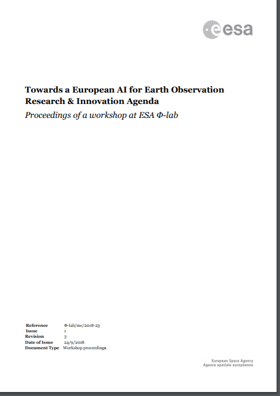
Towards a European AI for Earth Observation Research & Innovation Agenda

Over the last decade, rapid developments in digital technologies and in Earth Observation (EO) satellites have led to new and huge opportunities for science and businesses. There is an increasing need to mine the large amount of data generated by the new generation of satellites coming online, including for example the Copernicus system and New Space. Artificial Intelligence (AI) is certainly one important part of the full solution, enabling scalable exploration of big data and bringing new insight and predictive capabilities. 

In order to better understand how AI can impact the world of EO, ESA has convened a community workshop at ESRIN (Frascati) with experts in the domain. This document summarises their recommendations.

Open call: Ideas wanted

ESA is offering over 100 opportunities for industry, start-ups and scientific institutions to develop innovative ideas that bring Earth observation science closer to society.

ESA’s EO Science for Society programme aims to promote scientific exploitation of satellite data, pioneer novel applications and develop pre-commercial services while maximising the use of information and communications technologies.

The initiative also promotes community engagement and dialogue to increase the exploitation of scientific data while fostering an ‘open science’ environment through the use of digital and social media. In addition, the use Earth observation for the implementation of the UN Sustainable Development Goals is a key goal.

In response to a direct request by Member States, EO Science for Society has a permanently open call to apply for financial support to initiate activities that will meet the goals of this programme. 

“The initiative aims to boost European industry and scientific institutions by helping them to exploit Earth observation data and other resources in the competitive global market to develop platforms for enhanced large-scale data exploitation,” said Josef Aschbacher, Director of ESA’s Earth Observation Programmes.

For more information about this permanently open call click here.

To submit a proposal, click here.