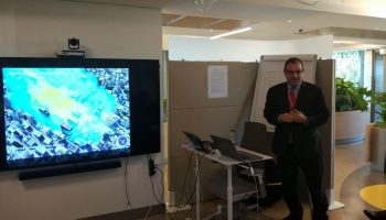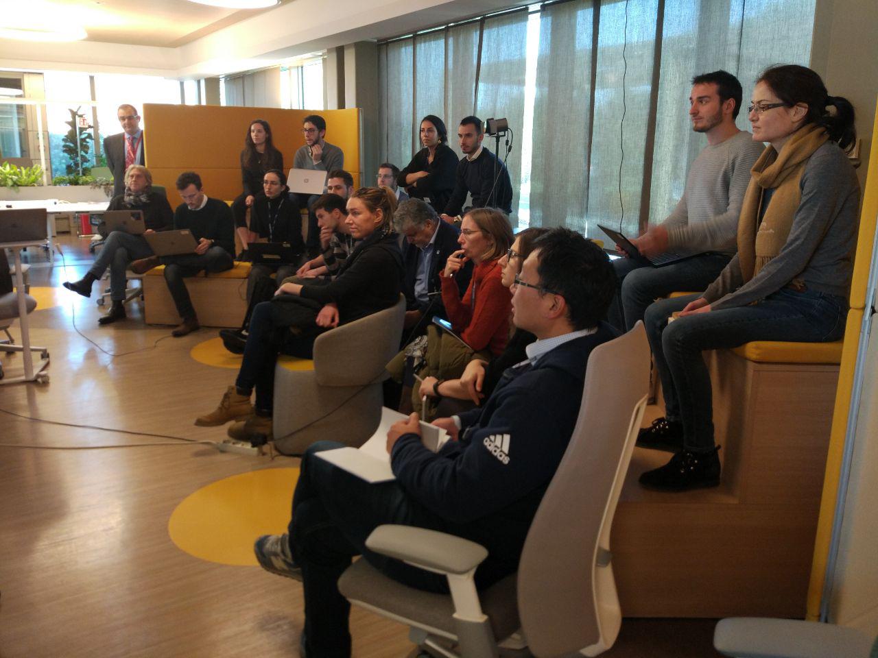
Φ-lab hosted an internal bootcamp on Machine Learning (ML) for Earth Observation during the first week of January, which provided the team with further hands-on experience on machine learning applicability to remote sensing using Matlab. The bootcamp was led by Prof. David Lary who also led the teem to look forward to future applications of ML such as swarm intelligence.
Machine Learning and Holistic Earth Observation
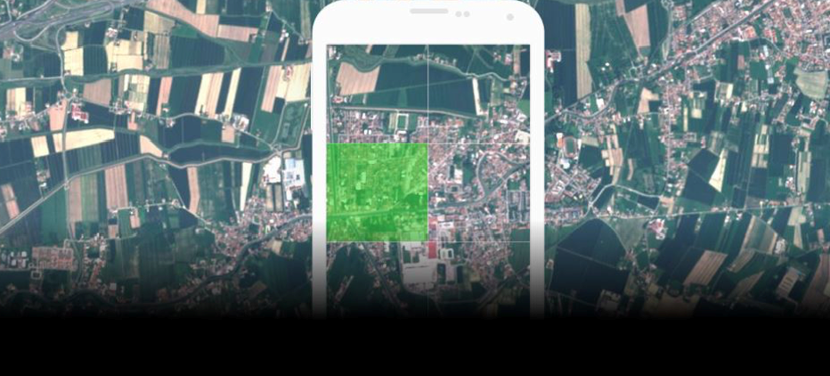
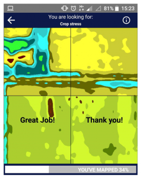
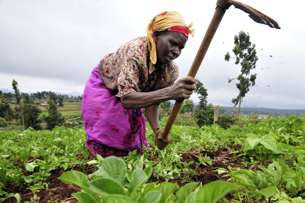
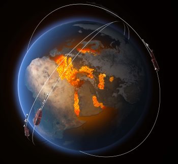
Machine learning has found many applications in remote sensing. These applications range from retrieval algorithms to bias correction, from code acceleration to detection of disease in crops, from classification of pelagic habitats, to rock type classification. As a broad subfield of artificial intelligence, machine learning is concerned with algorithms and techniques that allow computers to ‘learn by example. The major focus of machine learning is to extract information from data automatically by computational and statistical methods. Over the last decade there has been considerable progress in developing a machine learning methodology for a variety of Earth Science applications involving trace gases, retrievals, aerosol products, land surface products, vegetation indices, and most recently, ocean applications.