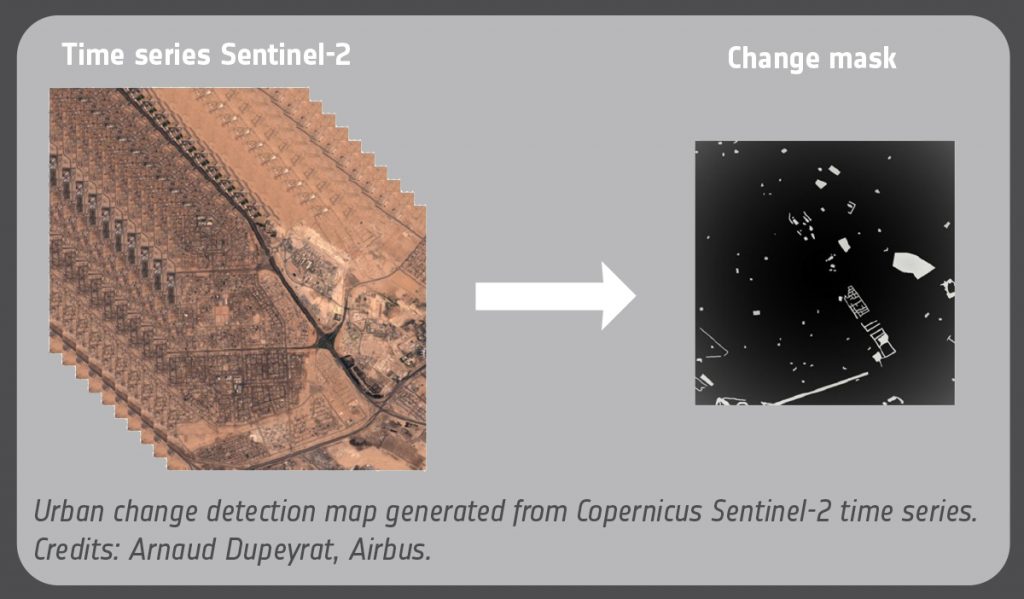
Satellite sensors provide consistent and repeatable measurements that are capable of capturing the effects of many processes, such as urban evolution, wildfires, and landslides. Despite the advanced technology providing satellite imagery, the detection and evaluation of this information is still, to a large extent, a human task. The exponential increase in image data has overwhelmed the capacity of human inspection. The need for automated inspection has now become pressing.

Despite having a tool facilitating the Machine Learning process, Airbus spends time and resources on the labelling task. The objective of this research at Airbus is to investigate the unsupervised classification of time series from Copernicus Sentinel-2 data and deliver an algorithm to enable the detection of anomalies (or changes) in Sentinel imagery without the need for mass tagging of imagery. In the first part of the activity, the emphasis will be on urban changes, using an existing dataset. The end goal is to be able to identify and classify several change classes (urban construction, natural disaster, seasonal change, etc.).
Unsupervised Learning is a Machine Learning technique that does not require supervision of the model. The model is therefore capable of working on its own to discover information without any indications.
Applying unsupervised techniques to satellite images is challenging. There are factors (image quality, intensity, clouds, cloud shadows, etc.) which can vary considerably due to non-controllable parameters. The goal is to be able to select clear/similar images over time without any training. This has been explored using Deep Learning and statistic methods.
When comparing similar images, the aim is to find where and when an urban change happened, pixel-wise. In the first version of the project, the emphasis is on dimensional reduction, i.e. using an LSTM auto-encoder to capture important features in the spatial and temporal space, thereby allowing the detection of the change location.
Share