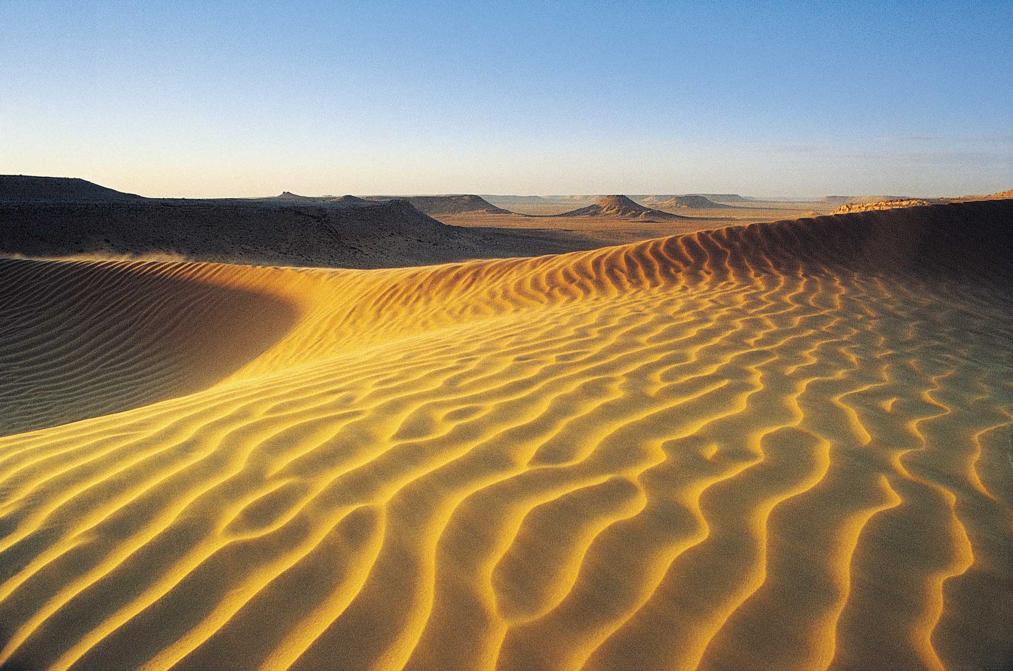
The systematic surveying of infrastructure in desert regions is a challenging problem, due to the extensive areas covered by many desert landscapes and the often inhospitable terrain. A significant problem in many such areas is the burial of human infrastructure by mobile sand dunes and drift sand. This activity aims to address the need to detect human installations and monitor their state, through the prototyping of a scalable, systematic infrastructure mapping and monitoring capability over desert regions.

Since the end of 2018, a workflow has been implemented at ESA Φ-lab for the mapping of roads in desert areas. This uses the U-Net Deep Learning architecture for image segmentation, trained with ground truth data from Open Street Map. The input to the model comprises Copernicus Sentinel-1 average intensity and average coherence from consecutively acquired scenes in a two-month time series. These data are obtained and automatically processed from the Creodias cloud platform. The workflow has initially been implemented over the North Sinai Desert, but the intention is to scale-up to desert areas worldwide, and to include other types of infrastructure.
The results are positive so far and have been validated against previous results obtained over the same area using mathematical morphology rather than Machine Learning (ML). These previous approaches have limitations in distinguishing natural from man-made features. The high contrast between radar backscatter over building materials, (e.g. stone, cement and tarmac) and surrounding sandy areas renders Sentinel-1 Synthetic Aperture Radar (SAR) highly efficient in the retrieval of anthropogenic structures in desert regions. However, ambiguities exist with natural features that also produce high backscatter, such as rock formations and sand dune ridges. Work is ongoing to improve the model before transferring it to other regions, with the intention of reducing local dependence and improving its robustness.
Share