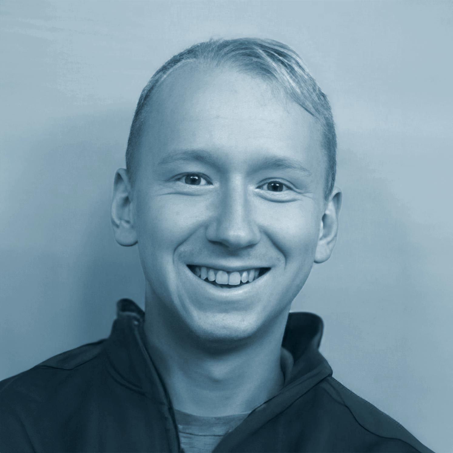
I graduated from Charles University in Prague with a master’s degree in remote sensing, geoinformatics, and cartography.
Being a member of the EO4Landscape research team and a PhD candidate at the same university, my primary area of interest is the large-scale land cover classifications derived from medium-resolution satellite imagery in accordance with the LULUCF Nomenclature. For this purpose I primarily concentrate on deep learning techniques, which allow to incorporate information from the neighbourhood of the classified pixel into the algorithms.
Also, I’m interested in land cover classification in southern Ethiopia in collaboration with the Czech Geological Survey as well as work on the cloud-based Google Earth Engine platform, which allows for the quick creation of a product from a collection of hundreds of satellite pictures. I also assist Prague Zoo in choosing appropriate locations to reintroduce Przewalski’s horses using remote sensing. Overall, I participate in instructional initiatives promoting remote sensing and GIS at all levels of education, from primary schools to universities.
Share